Nature Recovery Map

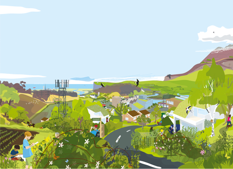
A vision of Britain in 2040

A vision of Britain in 2040, when nature has been allowed to recover through the implementation of a Nature Recovery Network. By Nik Pollard.

Our Nature Recovery Map

Mapping our wilder future

We want to see more nature everywhere.

Our new ‘Nature Recovery Network’ (NRN) will help us achieve that vision. Explore the map below and find out how we are creating new spaces for nature to recover and thrive.

If you are having difficulty seeing the story map below, you can view it here

View the Nature Recovery Map full screen


Find out more about our work to bring nature back to our three counties

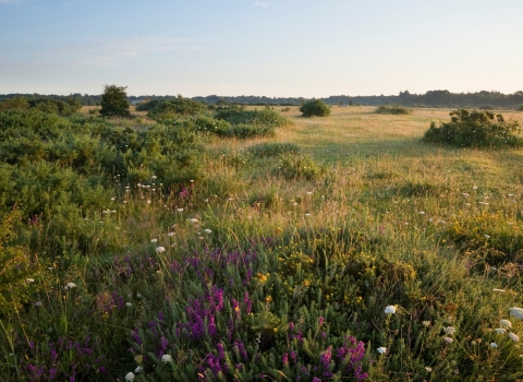
Greenham Common

Greenham Common by James Osmond

Wider countryside

Living Landscapes

Living Landscapes: more, bigger, better and joined up. This approach lies at the heart of our work with other landowners and farmers as together we take a large-scale approach to wildlife conservation.

Find out more
Water vole

Water vole © Terry Whittaker/2020VISION

Protecting species

Our water vole recovery project

Our Water Vole Recovery Project, the longest standing local project in the UK dedicated to water vole conservation, continues to expand water vole populations across our three counties.

Find out more
Road verge

Oxeye daisies growing along a road. Photo by Mark Hamblin/2020VISION

Linking wild places

Wild verges

Creating ribbons of wild flowers along roads and roundabouts.

Find out more